Google has launched Dynamic World – a detailed map of the Earth's surface in real time

Google has launched Dynamic World - a detailed map of the Earth's surface in real time

Google has created a new online tool, eloquently called Dynamic World , a new dataset that could help researchers effectively track changes on the planet’s surface caused by human activity.

The service uses deep learning and satellite imagery to create a highly detailed, high-resolution land cover map that shows trees, buildings, bodies of water, and farmland.

The creation of land cover maps is usually time consuming and there are often large time gaps between the time satellite imagery is acquired and the data is published. In addition, most of these maps do not provide detailed information about objects located in a particular area – for example, a city is classified as “built-up” (designation of human-modified landscapes), even if there are large areas with parks.

“If the world wants to produce everything that is needed from the earth, protect the rest of nature and restore some of the lost resources, we need reliable monitoring of every hectare of the planet in almost real time,”

Craig Henson,

Vice President of the Food, Forests, Water and Oceans Program World Resources Institute

Dynamic World classifies the type of ground cover every 93 m2. It shows, as far as possible, that the areas are covered by one of nine types of coverage: water, flooded vegetation, built-up areas, trees, crops, bare ground, grass, shrubs, and snow/ice. Google details its system, developed in collaboration with the World Resources Institute, in an article published in Nature’s Scientific Data.
Google has launched Dynamic World - a detailed map of the Earth's surface in real time
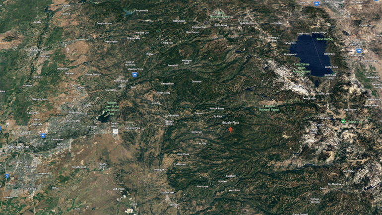
The land in Eldorado County, California was green and covered with trees before the August 2021 Kaldor fire and turned yellow with shrubs after. Image: Google and the Dynamic World project

The Dynamic World model generates over 5,000 images per day, and the ground cover data is constantly updated. It enables researchers and policy makers to quickly assess the impact of various processes, including fires and storms, and respond more effectively to change.

Google has updated Timelapse — marvel in 3D, how our planet has changed in the last 37 years

Related Posts

UK to regulate cryptocurrency memes: illegal advertising

Britain’s financial services regulator has issued guidance to financial services companies and social media influencers who create memes about cryptocurrencies and other investments to regulate them amid…

unofficial renders of the Google Pixel 9 and information about the Pixel 9 Pro XL

The whistleblower @OnLeaks and the site 91mobiles presented the renders of the Google Pixel 9 phone. Four images and a 360° video show a black smartphone with…

Embracer to sell Gearbox (Borderlands) to Take-Two (Rockstar and 2K) for $460 million

Embracer continues to sell off assets – the Swedish gaming holding has just confirmed the sale of The Gearbox Entertainment studio to Take-Two Interactive. The sum is…

photo of the new Xbox X console

The eXputer site managed to get a photo of a new modification of the Microsoft Xbox game console. The source reports that it is a white Xbox…

Israel Deploys Massive Facial Recognition Program in Gaza, – The New York Times

The Technology section is powered by Favbet Tech The images are matched against a database of Palestinians with ties to Hamas. According to The New York Times,…

Twitch has banned chest and buttock broadcasts of gameplay

Twitch has updated its community rules and banned the focus of streams on breasts and buttocks. According to the update, starting March 29, “content that focuses on…

Leave a Reply

Your email address will not be published. Required fields are marked *